#> Note: The following datasets are deprecated and will be removed in a future version:
#>   • BTS_Strata
#>   • EcoMon_Strata
#>   • Shellfish_Strata
#>   • Shrimp_Strata
#> Please use https://mdeb-nefsc-noaa.hub.arcgis.com/datasets instead:
#>   +/noaa::bottom-trawl-survey/about
#>   +/noaa::ecosystem-monitoring-survey/about
#>   +/noaa::atlantic-surfclam-and-ocean-quahog-survey/about
#>   +/noaa::sea-scallop-survey/about
#>   +/noaa::northern-shrimp-survey/about
The Northeast Fisheries Science Center Marine Development GIS Data Hub created
by the Marine Development and Ecology Branch (MDEB) host many spatial
datasets. The NEFSCspatial package provides access to these
datasets and serves them up as sf objects.
A current list of all data sets included in the package:
| title | dataset_name |
|---|---|
| Passive Acoustic Monitoring Survey | pam_deployments |
| Ecosystem Monitoring Survey | ecomon_stations |
| Ecosystem Monitoring Survey | ecomon_strata |
| Sea Scallop Survey | scallop_strata |
| Sea Scallop Survey | scallop_strata_historic |
| North Atlantic Right Whale Aerial Survey | narw_lines |
| North Atlantic Right Whale Aerial Survey | narw_strata |
| eDNA Survey | edna_stations |
| eDNA Survey | edna_strata |
| Coastal Shark Bottom Longline Survey | csbll_stations |
| Coastal Shark Bottom Longline Survey | csbll_strata |
| Bottom Trawl Survey | bts_strata |
| Hook and Line Survey | hl_strata |
| Turtle Ecology Survey | turtle_strata |
| Northern Shrimp Survey | shrimp_strata |
| Seal Aerial Survey | seal_stations |
| Atlantic Surfclam and Ocean Quahog Survey | oq_strata |
| Atlantic Surfclam and Ocean Quahog Survey | sc_strata |
| Cooperative Atlantic States Shark Pupping and Nursery Survey | coastspan_strata |
| Marine Mammal and Sea Turtle Survey | mmst_strata |
| Gulf of Maine Bottom Longline Survey | gombll_strata |
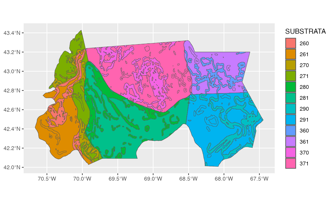
We can then plot any attribute, for example the “SUBSTRATA” attribute
of the gombll_substrata dataset: